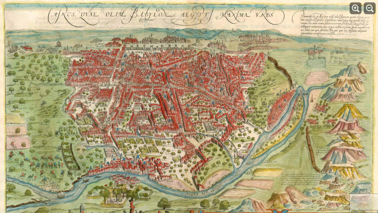
Map of Cairo, 1593, Civitates Orbis Terrarum

Cairo, 1593: This map comes from the Civitates orbis terrarum, an atlas of cities around the world, first published in Cologne in 1572 until its final volume in 1617 by German cartographers Georg Braun and Frans Hogenberg. The Cairo map appeared in more or less the same presentation throughout the various editions.
The translation of the text accompanying the map reads in part: “Cairo is said to number 30,000 houses altogether. There are very many princely palaces and temples here, but also many hospices, schools and baths and large buildings containing the tombs of important persons.” And it would seem Cairo has had traffic jams since at least the 16th century: “The streets contain such a throng of people, horses and mules that it is not possible to pass without obstacle.” Lastly, on the clothing of its inhabitants, according to Braun: “The women, too, wear trousers, made of silk, trimmed with pearls and precious gems, like the men.” Clicking or tapping on the above image will link to its source from the Belgian gallery Sanderus Antiquariaat, where one may zoom in for slightly more detail.